
Further information on Ethiopia and development cooperation:
Classified satellite images from 1973 to 2015 show how land cover in the Meno Highlands has changed.
Until around the year 2000, the forest shrank due to overuse. Since the project intervened, it has been growing again: Between 2000 and 2015, forest area increased by 29% – from 1,070 to 1,382 hectares – while agricultural land continued to expand.
Source: Debeko et al., "Human-climate induced drivers of mountain grassland over the last 40 years in Sidama, Ethiopia", Ecological Processes (2018). Maps from the doctoral thesis of Dr. Denbeshu Debeko. DOI
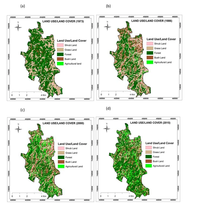
How the land changes once areas are protected and reforested.